
Minera Guanaco
Aerial photogrammetric survey
Taltal, Antofagasta Region
Gold and silver mining operator, 220 km southeast of Antofagasta.
- hectares
- 1,800
Surveying and aerial photogrammetry
Fast. Precise. Safe.
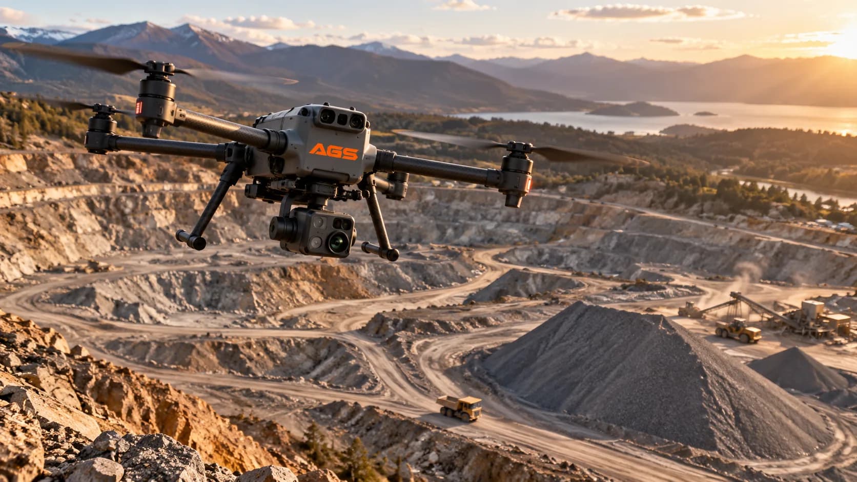
We produce accurate 3D models and topographic maps using high-resolution cameras. We offer centimetre accuracy beyond what traditional methods reach, data collection in hours rather than days or weeks, access to remote or unreachable terrain, and 3D visualisation with advanced, interactive analysis for project planning.
Minera Guanaco
Taltal, Antofagasta Region
Gold and silver mining operator, 220 km southeast of Antofagasta.
Surveying and aerial photogrammetry
Antofagasta Minerals
Antofagasta
Exploration project with 520 hectares mapped.
Aerial photogrammetric survey
SQM
María Elena, Antofagasta Region
Global leader in potassium nitrate production, 205 km from Antofagasta.
Aerial photogrammetric survey
We review the case and send a technical and commercial proposal. If the operation calls for it, we arrange a site visit.